Why real beach photos matter when choosing a spot
Real beach photos help set expectations, but the best decision combines images with live conditions, amenities and map context.

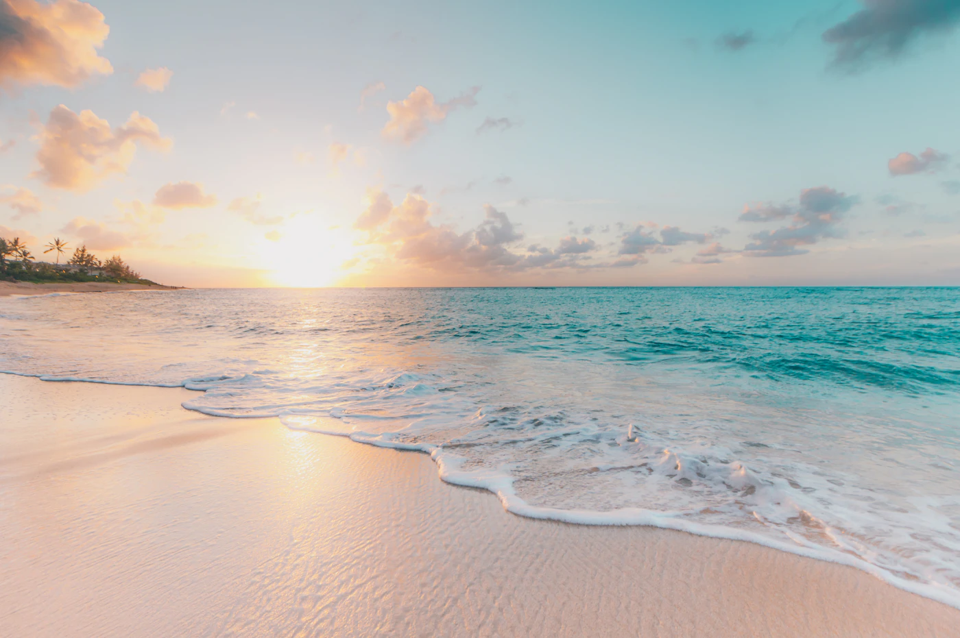
A photo answers questions that a forecast cannot: is the shore sandy or rocky, is the entry obvious, does the beach feel open or narrow, are there buildings, trees, cliffs or a long walk from the road?
But photos can also mislead when they are old, seasonal, cropped or taken from the prettiest angle. BeachFinder uses real or approved photos where available and labels illustrative images when a better exact image is not ready yet.
- Photos are expectation tools, not condition guarantees.
- A real photo helps you judge access, shore type, exposure and atmosphere.
- A beautiful photo still needs weather, UV, water quality, waves and amenities.
- Community and verified photos can make spot pages more useful over time.
Photos reduce the wrong kind of surprise
The biggest photo value is not beauty. It is expectation control. A real beach image can reveal pebbles instead of sand, a narrow cove, a marina nearby, a long exposed shore or a promenade that makes access easier.
This matters for families, people carrying boards, travelers without a car, dog owners and swimmers who need a gentle entry. The map pin tells you where. The photo helps you imagine the first five minutes after arrival.
A photo is not a forecast
A calm turquoise image can be true and still be the wrong guide for today. Wind, waves, UV, water temperature and water quality can change the experience completely. A beach can photograph well and still be uncomfortable for swimming at the wrong time.
That is why BeachFinder treats photos as context. They make the spot human, but the conditions decide whether to swim, surf, walk or switch to a backup.

Why illustrative photos are labeled
A worldwide beach database is larger than any finished photo library. Some spots have strong real images, some have community-approved photos, and some need temporary illustrative images until a better photo is available.
Labeling matters because trust matters. If an image is not confirmed as the exact beach, the page should not pretend otherwise. The useful long-term goal is to turn generic pins into real, inspectable spot pages.
Use photos with amenities and access
The best photo check is practical: does the beach appear wide enough, is there shade, is the entry rocky, does the shore look exposed, can you see restaurants, roads or paths? These visual clues become stronger when paired with amenities and map context.
Use BeachFinder to compare the photo, map, weather, UV, water temperature, wind, waves, currents, water quality where available, amenities, stays and activities before committing to the trip.
Before you go
- Use photos to inspect shore type and access, not to predict today's water.
- Check whether the image is exact, community-approved or illustrative.
- Compare the photo with map access and parking.
- Open conditions before leaving, especially wind, UV and water quality where available.
- Share spot pages so others see the same location, not a generic beach name.
FAQ
Are all BeachFinder photos exact photos of the spot?
Not always. BeachFinder uses real or approved photos where available and labels illustrative images when a precise photo is not available yet.
Why not choose by photos only?
Because beach conditions change. A great photo cannot show today's UV, wind, water quality, waves, current or crowd pressure.
What makes a beach photo useful?
The most useful photo shows the shore, entry, width, surroundings and access clues, not only a postcard angle.
Use BeachFinder to check today's spot.
Use your location, search any city worldwide or explore the map to compare the 20 most relevant beaches and swimming spots around you.
These beach pages connect the guide advice with real spot details: sea temperature, wind, UV index, waves, access and photos when available.
Plage Gazagnaire
IT
Ondarreta
ES
Plage Rive Gauche
FR
Plage de la Dalle
FR
Plage de Saint-Jean
FR
Beach Baia Blu
IT
Hakuna Matata Beach
IT
Sunset Beach Club Palinuro
IT
La Luna-Royale Beach
ES
Playa del Regatón
ES
Platja gossos
ES
Playazo de Villaricos
ES
Playa Fluvial del Huerva
ES
Playa de Guadalmar
ES
la Caleta
ES