BeachFinder / Tools

BeachFinder tools for partners, publishers and everyday beach checks.

A single place for BeachFinder utilities: add live beach planning signals to a website, install the mini app on desktop, and follow the tools we are preparing next.

Website embed

Iframe and script snippets · WordPress shortcode package · Light and dark widget themes

Installable mini app

Install from browser · Normal and compact views · Favorites kept on the device

Available now

Two tools are ready to use.

The embed widget is made for hotels, campsites, tourism pages and publishers. The installable mini app is the current base for the future Windows widget experience.

Website embed

Beach conditions widget for any destination page.

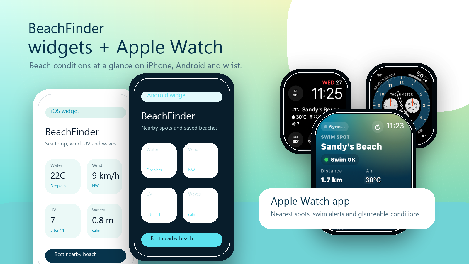
Generate an iframe or WordPress shortcode that shows nearby beaches, photos, water temperature, wind, UV, waves and useful guide shortcuts.

Iframe and script snippets
WordPress shortcode package
Light and dark widget themes
BeachFinder
Website embed
Water 21C
Wind 14 km/h
UV 7.2
Waves 0.8 m
BeachFinder
Beaches near Biarritz
Beach guides
Installable mini app

Windows-ready beach dashboard for quick checks.

Use the PWA on desktop today: geolocation or city search, compact mode, saved spots, quick map access and the core water, wind, UV and wave signals.

Install from browser
Normal and compact views
Favorites kept on the device
Installable mini app
BeachFinder
Compact
Biarritz
Water 21CUV 7.2Wind NWWaves 0.8 m
Install from browser
Normal and compact views
Coming later

This page can grow into the BeachFinder toolbox.

The next tools should stay useful and sober: practical planning utilities, partner distribution helpers and share formats that point back to real beach pages.

Planned

Share cards

Clean cards for hotels, tourism offices and social posts, generated from real BeachFinder spot data.

Next

Partner kits

Ready-made copy, logos and install notes for WordPress, Webflow, Wix, Squarespace and local publishers.

Draft

Data notes

Clear documentation for what BeachFinder signals mean, where they come from and how partners should present safety limits.

The tools should help people decide, not just decorate a page.

BeachFinder tools are built around useful signals: distance, photos, water temperature, wind, UV, waves, amenities and nearby alternatives. They should always remain planning aids, with local flags and official advisories as the authority for safety.