Press resources

BeachFinder helps people decide if a beach is worth the drive today.

BeachFinder is an independent beach and swimming spot app combining mapped places, photos, weather, water temperature, UV, wind, waves, amenities and nearby alternatives.

BeachFinder logo

Fact sheet

Mapped coverage
180,000+ beaches, lakes and swimming spots in the broader BeachFinder database.
Indexed pages
20,000+ localized spot URLs currently exposed through public XML sitemaps.
Languages
14 supported web languages for spot pages and major SEO surfaces.
Photos
A growing photo pipeline with real-location photos for roughly 50,000 spots.
Story angles

Useful angles for travel, tech and local media.

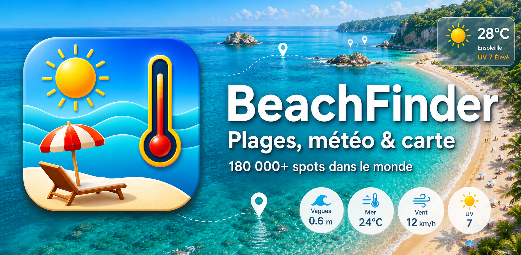
  • How beachgoers can compare water temperature, wind, UV and amenities before leaving.
  • Why static beach lists are not enough when conditions change during the day.
  • How hotels, campsites and tourism offices can use embedded beach widgets for guests.
  • The practical difference between a nice beach photo and a beach that is worth the drive today.
Data sources and limits

Conditions are planning signals, not guarantees.

  • OpenStreetMap for mapped beaches, lakes, swimming areas, amenities and geographic context.
  • Open-Meteo and marine forecast sources for weather, wind, UV, wave and water-temperature planning signals where available.
  • BeachFinder photo, editorial and quality-control pipelines for spot pages, fallback handling and content review.
  • Local official advisories remain authoritative for bathing bans, lifeguard flags and safety-sensitive decisions.

For articles and resource pages

The most useful public entry points are the beach hub, the spot directory, the guides library and the partner widget page. Link to the most relevant page for the story rather than only the homepage.