

Every GTA VI beach in real life: the complete Vice City to Florida travel guide
The real Florida coast behind GTA VI's Leonida: which beaches inspired Vice City, the Leonida Keys and Port Gellhorn, how to visit them, water temperatures, and a launch-week plan.
Rockstar screenshots only. No leaks, no fake map claims.
BeachFinder reads the coast like players do: beaches, boats, surf questions, Vice City and Leonida clues.

GTA VI is set in Leonida, a fictionalised Florida, and its coast maps onto real places: Vice City is Miami, the Leonida Keys are the Florida Keys, Port Gellhorn draws on the Panhandle's Gulf resort towns, and Grassrivers evokes the Everglades. To visit the real coastline behind the game you fly into Miami and work a Miami → Florida Keys → Gulf-coast triangle you can realistically drive in a week.
This is the master index for BeachFinder's real-world Leonida coverage — a travel guide, not a game guide. Each place below is a beach you can actually swim at, with the practical reality the trailers omit: water temperature by season, parking, crowds, and hazards. Use this page to see the whole map, then click into the deeper city and region guides for day-by-day detail.
- Vice City ≈ Miami and Miami Beach; the Leonida Keys ≈ the Florida Keys; Port Gellhorn ≈ the Panhandle Gulf coast; Grassrivers ≈ the Everglades.
- The full real-world loop — Miami, the Keys to Key West, then the Gulf coast — is a realistic 7-day drive on I-95, US-1 and the Overseas Highway (113 miles of it across 42 bridges).
- Florida's Atlantic side (Miami, the Keys) swims almost year-round: water rarely drops below 22 °C. The Gulf/Panhandle side is calmer and clearer but cools into the low 20s and below in winter.
- November — GTA VI's launch month — is one of the best times to actually be there: Atlantic water still ~24–26 °C, summer crowds gone, and Atlantic hurricane season ends 30 November.
- The Keys have almost no surf: they sit inside a reef-protected lagoon, so 'beaches' there are small, calm and snorkel-focused, not the wide surf beaches of the mainland.
- You do not need the game to enjoy any of this — but if you learned this coastline through Vice City, this is exactly where it exists.
Quick answer: what is the real place behind GTA VI's beaches?
GTA VI's state of Leonida is a lightly fictionalised Florida, and its coastline is assembled from real, recognisable places. Vice City is Miami and Miami Beach — the art-deco strip, the neon and the causeways to barrier islands. The Leonida Keys are the Florida Keys, the island chain trailing southwest toward Key West. Port Gellhorn takes the faded-resort mood of the Panhandle's Gulf coast. Grassrivers evokes the Everglades wetland.
So the honest travel answer is simple: 'the real GTA VI beaches' means Miami's Atlantic sand, the reef-lagoon islands of the Keys, and — if you have time — the clear, calm Gulf water of the Panhandle. Everything else in this hub is detail on how to string those together well.

Vice City is Miami: the anchor of the map
Most beach imagery associated with the game is Miami Beach: wide Atlantic sand, pastel art-deco hotels along Ocean Drive, and causeways connecting the mainland to the barrier islands of Miami Beach, Key Biscayne and Virginia Key. The public beach runs the entire length of Miami Beach and is widest and busiest around South Beach.
The reality the game compresses: Miami Beach is a barrier island, not the mainland city of Miami, and the calmest local swimming is on Key Biscayne (Crandon Park, Bill Baggs) rather than the crowded South Beach strip. Atlantic water off Miami sits around 26–29 °C in summer and rarely below 22 °C in winter, which is why Miami is one of very few US cities you can swim in every month of the year.
- South Beach — the postcard; busiest; worst parking; free public sand between the hotels.
- Key Biscayne (Crandon Park, Bill Baggs Cape Florida) — calmer water, shade, where Miami families swim.
- Virginia Key Beach — quieter, closer to downtown, a historic Black beach with deep local significance.
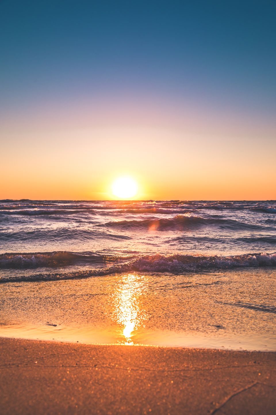
The Leonida Keys are the Florida Keys
The island chain trailing off the map is the Florida Keys, reached by the Overseas Highway (US-1), which runs 113 miles from the mainland to Key West across 42 bridges, including the Seven Mile Bridge. The Keys are a different kind of beach destination: the islands sit inside a shallow, reef-protected lagoon, so there is almost no surf and the beaches are small, calm and snorkel-focused rather than the wide surf beaches of the mainland.
Set expectations before you drive down: people go to the Keys for clear warm water, snorkelling over the only living coral barrier reef in the continental US, and the road trip itself — not for wide sand. Bahia Honda State Park has the best natural beach in the chain; Key West's beaches (Smathers, Fort Zachary Taylor) are modest, but the town and the drive carry the trip.
Port Gellhorn and the Panhandle: the Gulf-coast other half
Port Gellhorn channels the Florida Panhandle — the northwest Gulf coast, where the water turns clear green-blue over sugar-white quartz sand. This is a completely different Florida from Vice City's Miami: quieter, more small-town American, cheaper, and holding the clearest, calmest water in the state. Panama City Beach is the loud spring-break end; westward along Highway 30A, towns like Grayton Beach and Seaside are the calm, upscale end.
If Miami is the neon and the Keys are the road trip, the Panhandle is the water itself. The trade-off is season: Gulf water here drops into the low 20s °C and below in winter, so the Panhandle is a spring-through-autumn destination, unlike the near-year-round Atlantic side.
Atlantic vs Gulf vs the Keys: which coast is right for you?
Florida effectively gives you three different swims, and choosing between them is the single most useful planning decision. The Atlantic side (Miami, the Space Coast, the northeast) has real surf, warm year-round water and the neon — but the water is less clear. The Gulf side (Panhandle, Sarasota, Naples) has the clearest, calmest water and whitest sand, but cools in winter and has essentially no waves. The Keys have the warmest, clearest reef water and the best snorkelling, but tiny beaches.
In one line each: choose the Atlantic for waves, nightlife and year-round warmth; choose the Gulf for clarity, calm and value; choose the Keys for snorkelling and the drive. Most week-long trips combine the Atlantic (Miami) with one of the other two.
- Atlantic (Miami/Space Coast): surf yes, warm all year, water clarity moderate, prices high in Miami.
- Gulf (Panhandle/Sarasota/Naples): almost no surf, clearest water, white quartz sand, seasonal, cheaper.
- Keys: reef-lagoon, warmest and clearest, best snorkelling, tiny beaches, book rooms far ahead.
The real 7-day loop, and shorter versions
A realistic launch-week itinerary strings the highest-value stops together without backtracking. The classic loop: Miami (2 days) → the Keys down to Key West (2 days) → back up and across to the Gulf coast (2 days) → home. The drives are long but they are the point — the Overseas Highway is one of America's great road trips.
Shorter versions exist. A long weekend: Miami plus a day-trip to Key Largo (the closest Key, about 1.5 hours from South Beach), skipping the Gulf. Ten days: add Cape Canaveral on the Atlantic 'Space Coast' to watch a real rocket launch from the sand — the one piece of the trailer imagery that is genuinely spectacular in person, and now a several-times-a-week occurrence.
Hazards, seasons and the one safety rule that matters
Two real hazards shape a Florida beach trip. Rip currents are the leading surf-zone danger on the Atlantic side — check the daily NWS beach forecast and swim near lifeguards. Hurricane season runs 1 June to 30 November, but the statistical peak is August–September; a November launch-week trip sits at the safe tail of it. On the Gulf side, red tide (a harmful algal bloom) can occasionally close beaches or irritate lungs, so check local advisories before a Gulf swim.
The one rule that covers most of it: check live conditions the morning of each swim — water temperature, rip risk, and any local advisory — rather than trusting a photo or a forecast from three days earlier. The whole reason a live-data beach app exists is that Florida conditions change fast.
A note on the game reference (disclaimer)
BeachFinder is not affiliated with, endorsed by, or connected to Rockstar Games or Take-Two Interactive. Grand Theft Auto VI is a trademark of Take-Two Interactive Software, Inc. This is an independent travel guide to the real-world places that inspired the game's fictional Leonida setting.
Every location described here is a real, publicly accessible Florida place, and all game references rely only on publicly confirmed information (official trailers and Rockstar's own website). Game details appear solely as cultural context to help visitors find the real coastline; the practical facts — water temperatures, distances, seasons, access — are real-world travel information.
Before you go
- Fly into Miami (MIA) — it anchors the Atlantic side and the Keys.
- Rent a car; the whole appeal is the drive (US-1, the Overseas Highway, I-95).
- Decide your combo: Atlantic (Miami/Keys, year-round warm) + Gulf (Panhandle, calm/clear, seasonal).
- Book Keys accommodation early — the island chain has limited rooms and sells out.
- Pack reef-safe sunscreen; it is required in some Keys marine areas to protect the coral reef.
- Check live water temperature and the daily rip-current forecast before each swim.
- Aim for November for the launch-week sweet spot: warm water, thin crowds, low hurricane risk.
- Save the deeper city/region guides below for day-by-day detail.
FAQ
Where is GTA VI set in real life?
GTA VI's state of Leonida is a fictionalised Florida. Vice City maps to Miami and Miami Beach, the Leonida Keys to the Florida Keys, Port Gellhorn to the Panhandle Gulf coast, and Grassrivers to the Everglades.
Is Vice City a real place?
Vice City is fictional but is a close stand-in for Miami and Miami Beach, Florida — the art-deco strip along Ocean Drive, the causeways to barrier islands, the neon, and the wide Atlantic beaches are all recognisably Miami.
Can I actually visit the beaches from the GTA VI trailers?
Yes. Every location is inspired by real, publicly accessible Florida beaches — Miami Beach, Key Biscayne, the Florida Keys, the Panhandle and Cape Canaveral are all places you can swim at or visit.
When is the best time to visit Florida for the GTA VI launch?
November, the launch month, is one of the best: Atlantic water is still around 24–26 °C, summer crowds have thinned, and Atlantic hurricane season officially ends on 30 November.
Is the water warm enough to swim in Florida in winter?
On the Atlantic side (Miami, the Keys), yes — water rarely drops below 22 °C. On the Gulf/Panhandle side, winter water falls into the low 20s °C and below, so it is more of a spring-to-autumn swim there.
How long do you need to drive the whole GTA VI Florida loop?
About seven days does it comfortably: two days in Miami, two down the Keys to Key West, and two on the Gulf coast, plus travel. A long weekend can cover Miami plus a Key Largo day-trip.
Use BeachFinder to check today's spot.
Use your location, search any city worldwide or explore the map to compare the 20 most relevant beaches and swimming spots around you.
Download BeachFinder
Find beach conditions, sea temperature, wind, UV, water quality, and nearby swimming spots before you go.
Stay near the real-world Miami Beach beach inspiration
Planning a Miami or Florida trip while reading GTA 6 beach clues? Use this map as a real-world base around Miami Beach. It is about hotels and rentals near the actual coast, not a claim that Rockstar copied one exact location.
Things to do around Miami
A few bookable activities near Miami after checking conditions for Miami Beach.