Best beaches on the Costa Brava: from Cala Sa Boadella to Cap de Creus
Costa Brava beach overview from Lloret and Tossa to Calella de Palafrugell, Aigua Xelida and Cap de Creus, with cove logistics, tramontane impact and parking reality.
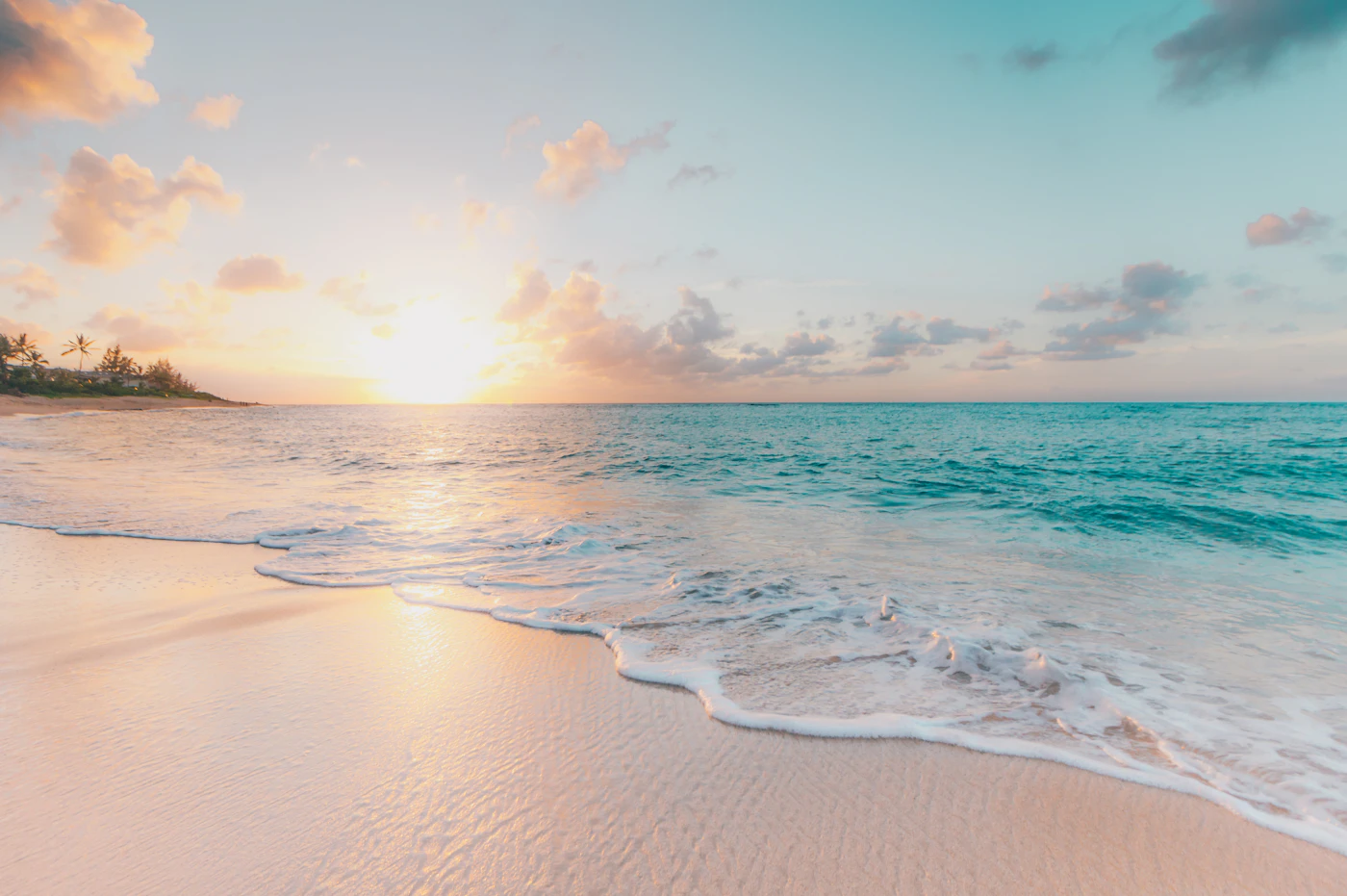
The Costa Brava is the cove coast of Catalonia. Between Blanes in the south and Portbou at the French border, the coastline alternates between sandy resort beaches and small turquoise calas tucked between pine cliffs. The famous resorts (Lloret, Tossa, l'Estartit) absorb most of the August crowd, which leaves the smaller calas around Begur, Palafrugell and Cap de Creus accessible to travelers who know to walk the Cami de Ronda (the coastal path) or arrive early to the small parking lots. Choosing well is mostly a question of how much walking you accept.
Use this guide as the regional map between four sub-zones: the southern Costa Brava (Blanes, Lloret, Tossa) for sand and resorts, the central Empordà coast (Begur, Palafrugell, Pals) for the iconic small calas, the Gulf of Roses for the long flat beaches, and the Cap de Creus peninsula for the wild end of the coast. The water temperature peaks at 23 to 25 degrees Celsius in August, the tramontane wind shapes the day more than the calendar does, and the parking pressure at famous calas is the operational reality of every July and August.
- The Costa Brava is a cove coast; the famous calas need an early arrival or a walk on the Cami de Ronda.
- The tramontane (north wind) blows for two to four days at a time and reshapes the day; choose south-facing coves when it is up.
- Water peaks at 23 to 25 degrees Celsius in August; June and September are the comfort sweet spots.
- Famous calas (Sa Boadella, Aigua Xelida, Tamariu) fill before 10:00 in summer; walking in solves the parking.
Southern Costa Brava: Blanes, Lloret, Tossa
The southern Costa Brava begins at Blanes, the last train station on the Rodalies R1 line from Barcelona. Plage de Sa Boadella, between Lloret and Blanes, is the iconic small-cove introduction to the coast: a small pine-fringed beach with turquoise water and a path down from the road. Lloret de Mar adds the long urban beach (Platja de Lloret) and the smaller Platja de Fenals nearby. Tossa de Mar is the postcard town with the medieval Vila Vella above the curved bay of Platja Gran and the smaller Platja de la Mar Menuda.
Coves between Tossa and Sant Feliu de Guixols (Cala Pola, Cala Giverola, Cala Salions) reward a short walk or a boat shuttle. Sant Feliu de Guixols and S'Agaro then introduce the central Empordà with Platja de Sant Pol and Platja de Sa Conca, smaller sandy beaches with a calmer crowd than Lloret. The Cami de Ronda links most of these spots; sections of the coastal path turn an ordinary cove visit into a two-hour day with much better photos.
- Cala Sa Boadella (Lloret): small pine-fringed cove, walk down from the road.
- Platja Gran de Tossa: curved bay, medieval Vila Vella above, family default.
- Cala Pola (between Tossa and Sant Feliu): small cove, walk or boat shuttle.
- Platja de Sant Pol (S'Agaro): smaller sandy beach, calmer crowd.
- Platja de la Mar Menuda (Tossa): family-friendly, calmer than Platja Gran.

Central Empordà: Begur, Palafrugell and the iconic calas
The Begur and Palafrugell coast is the heart of the iconic Costa Brava. Calella de Palafrugell is the white-washed fishing village with Platja del Canadell, Platja del Port Pelegri and Platja del Golfet. Llafranc is the next bay north, with the long Platja de Llafranc and the lighthouse path to Sant Sebastia. Tamariu is the most intimate village, with Platja de Tamariu and the tiny Cala Pedrosa and Cala d'Aigua-Xelida (the famous Aigua Xelida) reachable on foot from the village.
Begur sits inland but commands the calas to the east: Aiguablava, Fornells, Sa Tuna, Sa Riera and Aiguafreda. Each is a small cove with pine cliffs and white sand; each has limited parking; each fills before 10:00 in August. Aiguablava is the iconic small bay with the Parador hotel above; Sa Riera is the larger family-friendly default; Aiguafreda is the smallest and quietest. The Cami de Ronda between Aiguablava and Fornells is one of the most beautiful coastal walks in Catalonia.
Gulf of Roses and l'Estartit
North of Palafrugell, the coast opens into the Bay of Roses, a long sandy crescent that includes Platja de Pals, Platja de l'Estartit, Platja de l'Escala and the Roses town beach. These are family-friendly long sandy beaches with full services, easier parking than the southern calas, and a more relaxed crowd. The Medes Islands offshore from l'Estartit are a marine reserve; boat trips from the port include snorkeling and diving sessions with some of the best visibility on the Catalan coast.
Empuries near l'Escala adds a long flat beach with Greek and Roman ruins next to the sand: Platja del Portitxol and Platja de les Muscleres. The Aiguamolls de l'Empordà natural park (between l'Escala and Roses) is a wetland reserve with bird-watching trails and short access beaches. Treat the Bay of Roses as the long-sand alternative when the southern calas are full and the wind makes the cove coast uncomfortable.
- Platja de Pals: long flat sand, family default, easier parking.
- Platja de l'Estartit: marine reserve nearby, boat trips to Medes Islands.
- Platja del Portitxol (Empuries): Greek-Roman ruins next to the sand.
- Platja de Roses: long crescent, full services, full-resort feel.
Cap de Creus and the wild north
Cap de Creus is the wild end of the Costa Brava. The peninsula east of Cadaques is a protected natural park, with a dramatic schist-rock coastline carved into small coves: Cala Culip, Cala Jugadora, Cala Portaló, Cala Tavallera. Several are reachable only by boat or by a longer walk from the lighthouse parking lot. The water clarity here is exceptional because the coastline is sparsely developed.
Cadaques itself has small pebble-and-sand beaches in the village: Platja Llaner, Platja Es Pianc, Platja Ses Oliveres. They are picturesque rather than swimming-first, with the village's white houses climbing the hill above and the Salvador Dali atmosphere in the air. Port de la Selva further north adds Platja de la Selva and the surrounding cove network. The tramontane is at its strongest here; check the wind forecast before committing to a Cap de Creus day.
- Cala Jugadora (Cap de Creus): small turquoise cove, walk from the lighthouse.
- Cala Tavallera (Cap de Creus): boat or long walk only, very quiet.
- Platja Llaner (Cadaques): village beach, pebble and sand, walkable from the square.
- Cala Culip (Cap de Creus): small protected cove, twenty-minute walk in.
Climate, tramontane and the realistic plan
Costa Brava water temperatures climb steadily: 13 degrees Celsius in April, 16 to 18 in May, 21 in June, 23 to 24 in July, 24 to 25 in August (the peak), 23 in September and back to 20 in October. The full swimming season runs May to mid-October, with June and September the comfort sweet spots before the August crowd peak. UV is high (7 to 9 in July) and shade is limited at most calas; pack a parasol or a beach tent.
The tramontane is the dominant wind, blowing from the north or northwest in dry bursts that can last two to four days. South-facing calas shelter behind the headlands and stay swimmable; east-facing pockets get chop and the small dinghies stay in. The Cap de Creus is the windiest part of the coast and a strong tramontane day there means walking and photos rather than swimming. Pair the morning Meteo-France or AEMET wind forecast with the cala choice and the day works.
Before you go
- Walk the Cami de Ronda to escape parking pressure at the famous calas.
- Arrive before 09:30 at Aiguablava, Tamariu and Aigua Xelida in August.
- Switch to long-sand Bay of Roses on strong tramontane days.
- Book a Medes Islands snorkeling trip from l'Estartit for marine reserve days.
- Plan June or September for the same coast with smaller crowds.
FAQ
Which Costa Brava beach is the most beautiful?
Aiguablava and Aigua Xelida are the iconic small calas; Cala Sa Boadella is the southern jewel; Cala Jugadora in Cap de Creus is the wild north counterpoint. Each represents a different sub-zone of the coast. For a single best-of, Aiguablava combines small-bay scale, white sand, pine cliffs and the iconic Parador above, and it remains the strongest postcard cove. Tamariu and Calella de Palafrugell add the white-washed fishing village context that makes the visit feel like more than a beach day.
How do you escape the parking pressure at Costa Brava calas?
Walk on the Cami de Ronda. The 220-kilometre coastal path links most of the famous calas, and walking sections between coves turns the parking problem into a side note. Start the day at a regulated parking lot near a village (Begur, Palafrugell, Tamariu) and walk fifteen to forty-five minutes to the cala. The walk filters the crowd, the views are the reason to visit, and you skip the morning lot queue. Arriving before 09:30 at the famous calas is the other realistic option in August.
Is the tramontane wind a real problem?
Yes when it is up. The tramontane blows from the north or northwest in dry bursts of two to four days, with gusts that can exceed 80 km/h on the Cap de Creus. Small dinghies stay in, beach umbrellas come down and east-facing calas get chop. The realistic plan is to check the AEMET or Meteo-France wind forecast the night before and switch to south-facing coves (the central Empordà calas like Aiguablava, Tamariu) when the tramontane is strong. The Bay of Roses long-sand beaches are also more forgiving than the cove coast.
Use BeachFinder to check today's spot.
Use your location, search any city worldwide or explore the map to compare the 20 most relevant beaches and swimming spots around you.
These beach pages connect the guide advice with real spot details: sea temperature, wind, UV index, waves, access and photos when available.
Ondarreta
ES
Platja d'Empuriabrava
ES
Cala Gat
Cala Ratjada - ES
Cala del Sòl de Riu
ES
Cala de la Gruta
ES
Cala Olivera
ES
Platja de Cala Llucalari
ES
Cala de Boix
ES
Cala Tuent
ES
Cala Muñoz
ES
Cala de Calnegre
ES
Cala des Falcó
ES
Cala de las Pulgas
ES
Cala del Pinar
ES
Cala Bóquer
ES